South Rim is no doubt the best hike in Big Bend National Park. If you want to take sunset and sunrise photos, you would want to camp on the rim. There are many designated camp sites along the trail. You can download the camp site map from National Park Services web site. The Big Bend Chat web site also provides lots of useful information. The best camp site that everyone agrees on is SW4, but it is hard to get. When we arrived to visitor center at 11 AM the day before the hike, the site had already been taken by someone else. I assume if you want to get that spot, you will have to get to visitor center really early. Eventually we got our second choice, SE1. Even you have to carry two days of water, the hike is moderate.
If you want to do a day hike, I recommend Lost Mine trail at Chisos Basin. The view at the end of the trail is very impressive. There are numerous foreground objects for your photos. We saw an unforgettable sunset over there.
Mariscal Mine trail at Rio Grande area is interesting. At the end of the trail, there is a small pond with some layered rock formation.
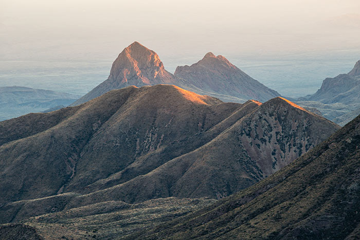
The mountain scene along the Ross Maxwell Scenic Drive was impressive. At the end of road is Santa Elena Canyon, which is supposed to be good for sunrise photos. But at the time when we were there, it was too foggy unfortunately.
Mariscal Mine trail at Rio Grande area is interesting. At the end of the trail, there is a small pond with some layered rock formation.
The mountain scene along the Ross Maxwell Scenic Drive was impressive. At the end of road is Santa Elena Canyon, which is supposed to be good for sunrise photos. But at the time when we were there, it was too foggy unfortunately.
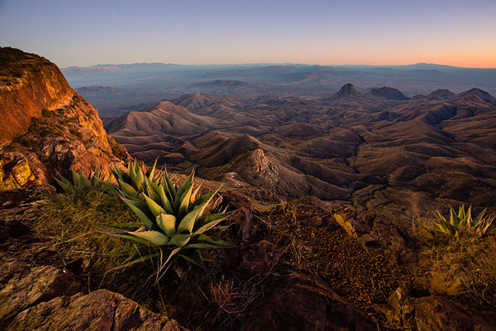
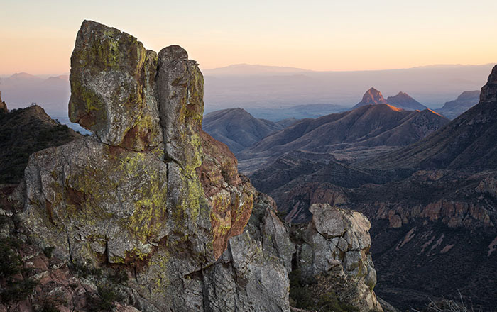
Sunset at South Rim
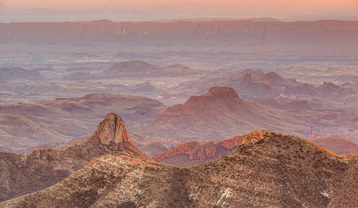
Sunset at South Rim
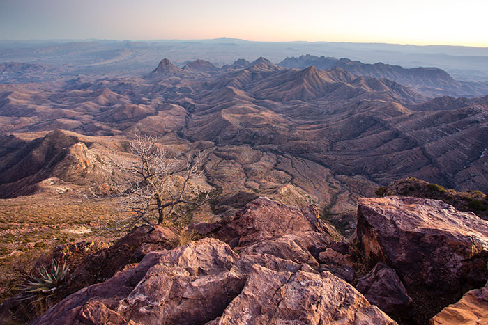
Sunset at South Rim
Sunset at end of Lost Mine trail
Sunset at end of Lost Mine trail

Small pond at the end of Ernst Tinaja trail