On September 30 and October 1, 2017, we hiked Cottonwood Lakes and summited Mount Langley. Mount Langley was called “one of the easiest 14er in California”. Given the distance of hike, it was actually not that easy. On the first day, we did a small detour to lake #3. Then along the lake shore, we hiked south to hit the trail to Long Lake and camped there.
On the second day, we went up to New Army Pass, then summited Mount Langley. From Long Lake, my GPS showed 5.6 miles to the summit. I was very impressed about how well the trail was maintained. It was slightly sandy but almost had no rocks on the trail. My GPS showed total 25.4 miles for the entire trip.
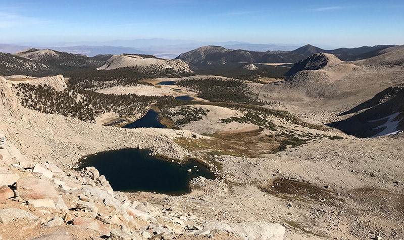
Scenery wise, I think the best scenery started from on top of the pass all the way to the summit. Below the pass, there were some nice reflections, but nothing impressed me.
My GPS track, Mount Langley.gpx, can be downloaded from GPS Tracks Collection.
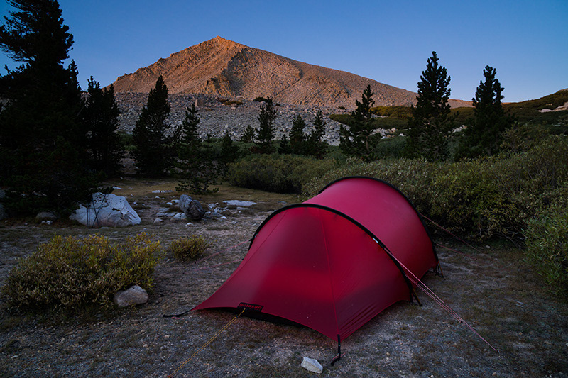
Camp at Long Lake
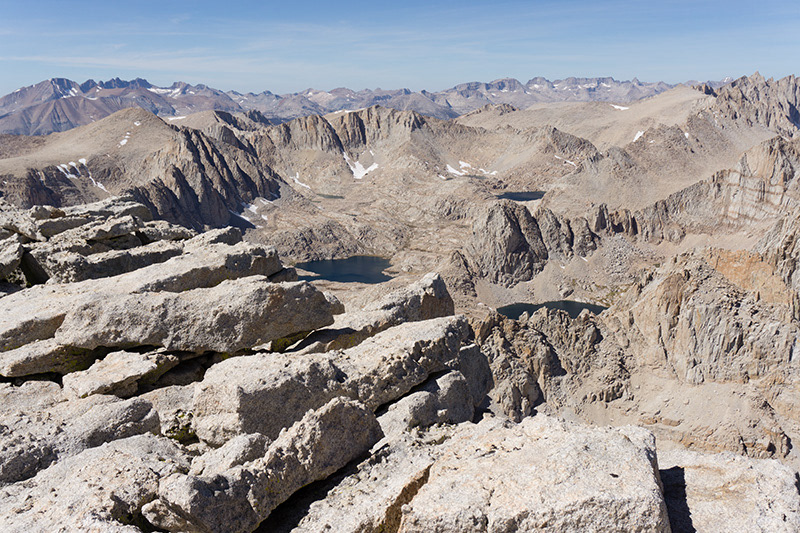
Top of Mount Langley
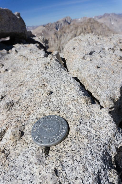
US Geological Survey Marker on Top of Mount Langey
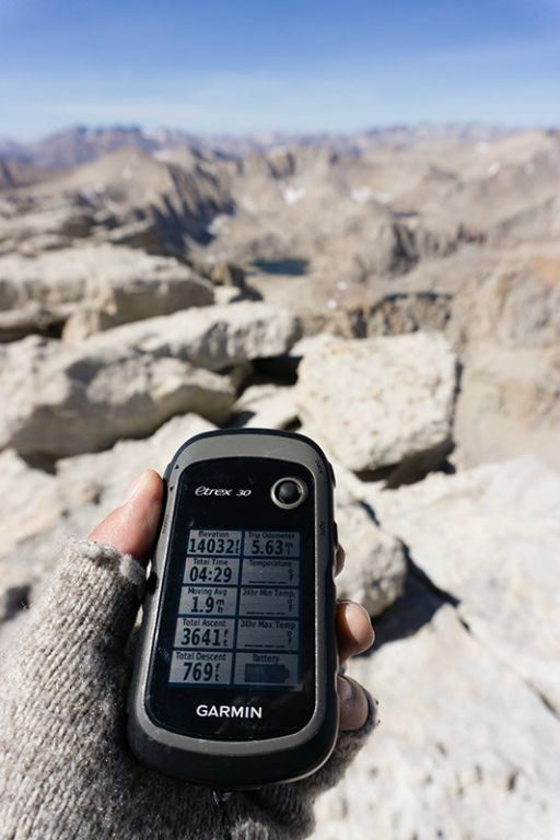
14032 feet!
Looking down from New Army Pass